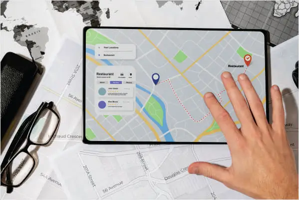
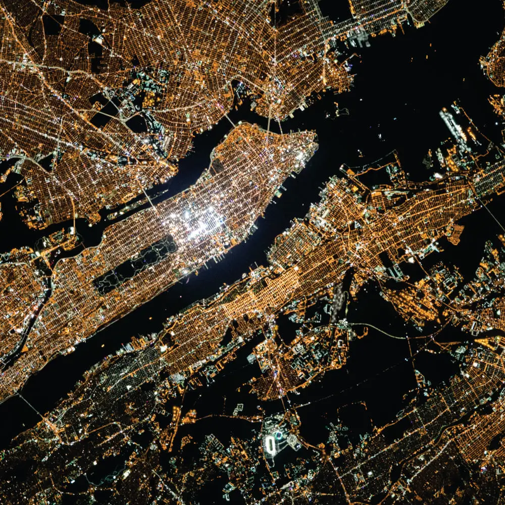
At AROM Associates, our Mapping services are underpinned by the latest technological advancements in Geographic Information Systems (GIS) and Remote Sensing. Utilizing these sophisticated tools, we capture, analyze, and interpret geographical data to support a wide range of projects. Our expertise in leveraging ArcGIS, Autodesk’s Civil 3D and AutoCAD 2D ensures precise and detailed mapping outputs.
This capability allows us to provide invaluable insights for urban planning, environmental studies, and infrastructure development. Our commitment to integrating cutting-edge software into our mapping processes demonstrates our dedication to delivering accurate, comprehensive, and actionable geographic data to our clients;
− Geographic Information Systems (GIS) − Remote Sensing (RS) − Surveying
Global Services
We have worked on projects across Globe: − USA − Australia − Saudi Arabia − New Zealand − Pakistan