Mapping Services
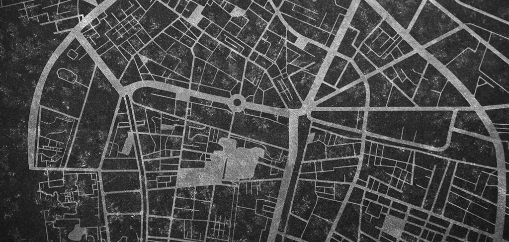
AROM Associates provides advanced Mapping services supported by modern Geographic Information Systems (GIS) and spatial data technologies. Our team captures, processes, and analyzes geographic information to support infrastructure planning, environmental assessment, and transportation development projects.
We utilize professional software including ArcGIS, Civil 3D, and AutoCAD to generate precise and detailed mapping outputs. Our integrated approach ensures accurate spatial analysis, improved project visualization, and reliable geographic data for informed engineering decisions.

Services Benefits:
Advanced GIS-based spatial analysis solutions
Accurate digital mapping and data visualization
- We use modern GIS and CAD platforms
- Professional mapping consultancy services
- We ensure precise spatial data reporting
There are many variations of passages of Lorem Ipsum available, but the majority have suffered alteration in some form, by injected humour, or randomised words which don’t look even slightly believable. If you are going to use a passage of Lorem Ipsum.
There are many variations of passages of Lorem Ipsum available, but the majority have suffered alteration in some form, by injected humour, or randomised words which don’t look even slightly believable. If you are going to use a passage of Lorem Ipsum.